Semeytau, archaeological site. Паспорт объекта
Full description
Name: Archaeological sites of Semeytau.
Site type: a group of archaeological sites from the era of the ancient nomads.
Location: The monument is located within the Semey urban district (40 km from the city of Semey) of the East Kazakhstan region.
The nearest settlement: The object is located 10 kilometers east of the village of Kokentau and 40 kilometers from the town of Semey VKO.
Road: from Semey to Semeytau Mountain there is a hard-surfaced road. The monuments can be reached by dirt roads.
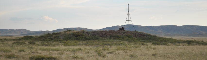
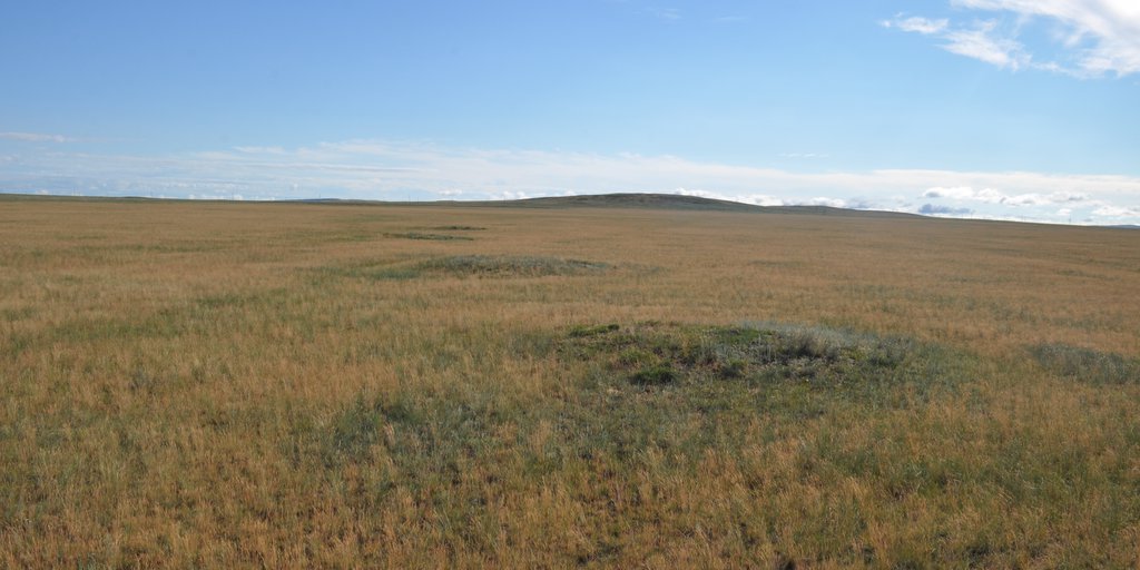
Features of the landscape: The Semeytau mountain has a range of 45 km arches from northwest to southwest and it is located 40 km south-west to Semey, the highest point called Karakus reaches a height of 606 m. Semeitau mountains are oriented by sheer sides towards the river Irtysh, and they rise majestically above the surrounding plain. Corresponding to the steepness and flatness of the mountains, slopes in the west are covered with sediment and vegetation. In the east, the peaks of the mountainous terrain end with exposed rock ledges and porphyrite placers on the planes. In the western direction, the mountain ledges gradually turn into a hilly area with two rocky peaks of Kyzemshek. The Semeytau Mountains, especially in the eastern end, are distinguished by a developed relief and mountain springs. To the west of the mountain range, there is a river of Shagan. In the opposite direction there is a river of Mukir. In the spring two of these rivers flow into the Irtysh. Also, at the foot of the western part of the mountain range there is a small river valley Karasu, where melt water persists until mid-summer. Ash-colored soil predominates in the soil layer, and in some places it will change to a yellow and even less often to a red tint. Birch forests grow in mountain hollows, and near water sources there is a hoist. Shrubs are represented by rare thorny reeds, caragana bush and meadowsweet. On the slopes of the mountains and in the steppe there are feather-grass-fescue plants, beetroot and wormwood grow. Lowlands with a thick bed of betege and kөde were usually chosen for an arable land.
History of study: The first written evidence on archaeological monuments of the Semeytau mountain range is associated with the name of N. Ya. Konshin. In his article: "On the monuments of the Semipalatinsk region" he writes: "The Semipalatinsk region has been studied very little archaeologically, which, of course, is mainly due to the remoteness of the region from cultural centers. To facilitate such learning, the Semipalatinsk Regional Stat. committee in 1900 carried out a collection of archaeological information and sent them to some private individuals, all governors of Kazakh volosts, atamans of Cossack villages, and to the village foremen of the region ”(Konshin, 1903, p. 1.). In this article, he cites data on the kurgans of the Karamulla area in the Semitavsky volost (Konshin, 1903, pp. 4-5). The same information is duplicated in the book "Archaeological Map of Kazakhstan", (Archaeological Map of Kazakhstan, 1960.) published in 1960 for official use.
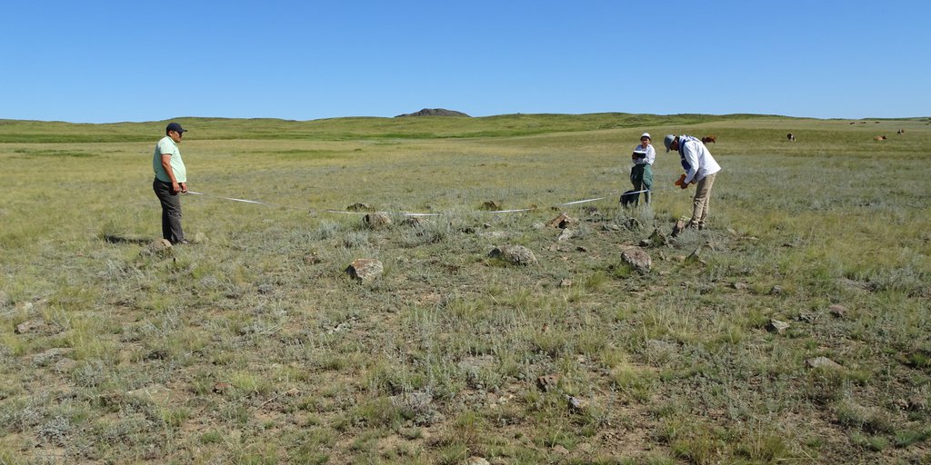
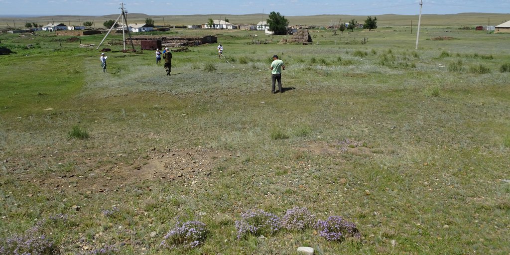
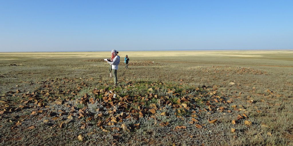
The first archaeological work was carried out in 2015 by employees of the Semey detachment of the East Kazakhstan archaeological expedition of the branch of the Institute of Archeology named after A. H. Margulan within the framework of the grant program "Antiquities of East Kazakhstan: cultural and historical processes in the Hunno-Sarmatian era." As a result, excavations of the burial grounds of Semeytau, Kotyrbulak, Suykbulak were carried out. Consequently, the research in the region made possible to find unique materials of the Hunno-Sarmatian time. In 2018, the East Saryarka archaeological expedition of the Shakarim University (Semey) studied archaeological sites in the southwestern part of the Semeytau Mountains. In the course of archaeological work, the study of ancient and medieval routes from the Upper Irtysh region through the steppes and mountains of the Eastern Sary-Arka to the borders of South Kazakhstan, as well as through Central and North-West Kazakhstan to the banks of the Yaik and Volga rivers had begun. It is argued that the northern trade route, formed in antiquity, which existed since the 6th century BC was the route of the migration flow of the tribal groups of the Hunnic political union to the western steppes, which caused the Great Movement of Nations in Europe. In the following centuries, both Turkic-Mongols of the 13th century and Oirats at the beginning of modern times followed the footsteps of Huns. Moreover, there are guard posts and places where fortifications were erected in the Middle Ages which has been studied with approximate trade routes. In this respect, we can relate the western hill of Mount Kyzemshek and the surrounding areas as a remarkable natural and archaeological site. Also, in the field season of the same year, within the framework of the project "Investment potential of the sacred geography of Kazakhstan: space monitoring, IT technologies and historical and cultural analysis in the creation of an electronic atlas of the Republic", exploration work was carried out to identify and monitor the historical and cultural monuments of the Semeytau mountain range. As a result of prospecting work numerous archaeological sites of different times and types were identified.
The main important sites:
1. Burial ground of Tasbulak. The Bronze and Early Iron Age.
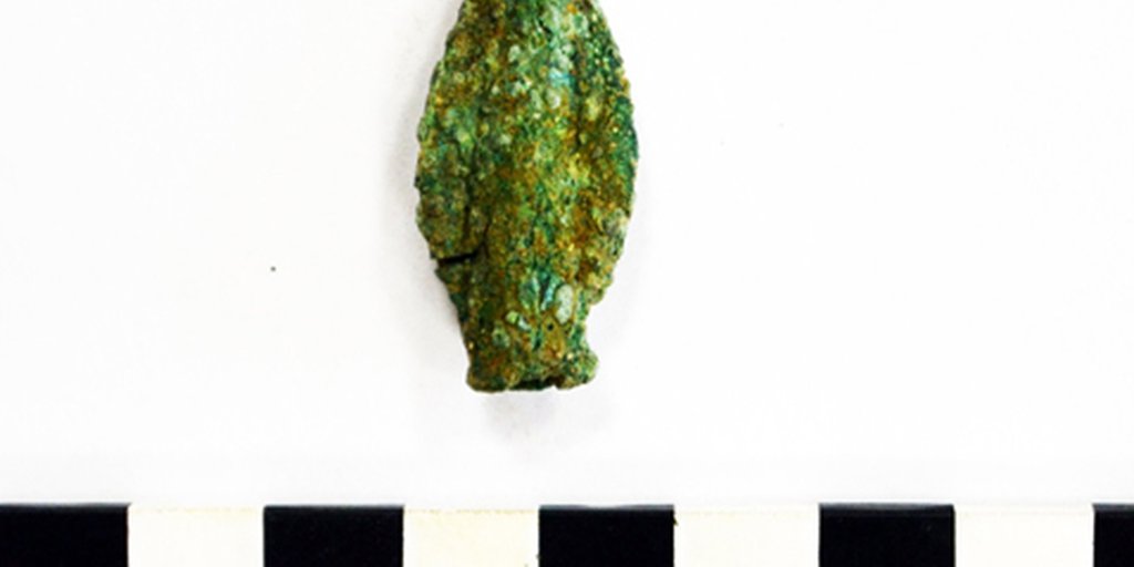
It is located 2 km south from the village of Shcherbakova (Kyzemshek) on 50 km of the Semey-Kainar highway. The burial ground consists of burial mounds of the Bronze Age and the Iron Age. Also in this burial ground, we found a semi-precious stone agate, which had signs of processing. Perhaps, there was an agate workshop.
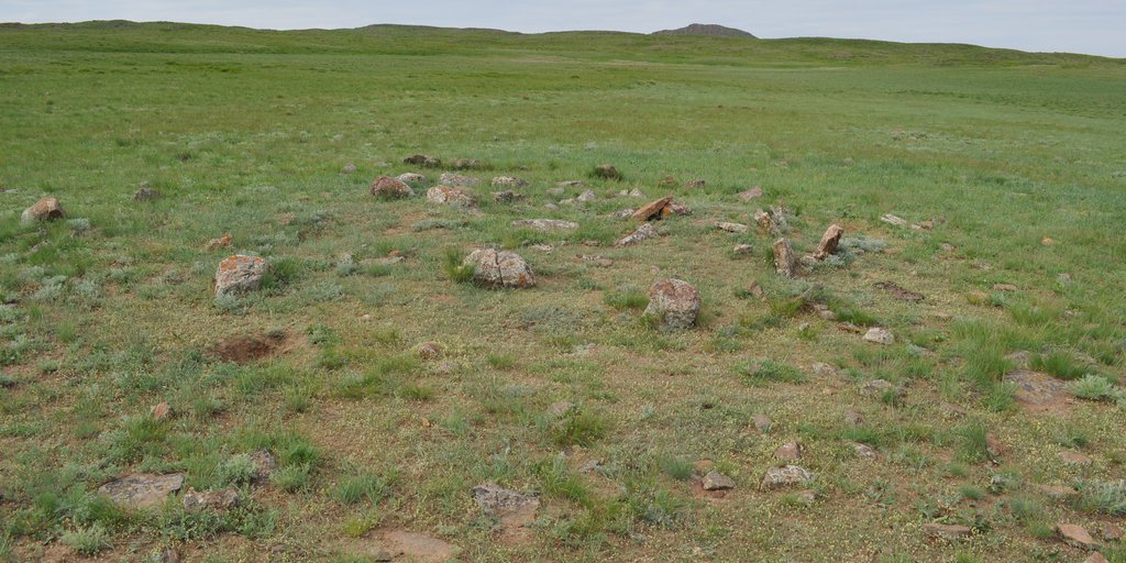
2. Burial ground of Kyzemshek. The Bronze Age.
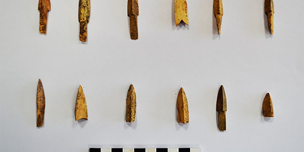
It is located in the northeast of Shcherbakovka village, 49 km from the Semey-Kainar highway. The burial ground consists of stone slabs (Figure B. 9). Some of which were destroyed during the construction of the Semey-Kainar highway. According to the stories of local residents, arrowheads were found during construction works.
3. Burial ground of Karabie. Early Iron Age.
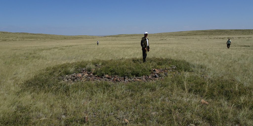
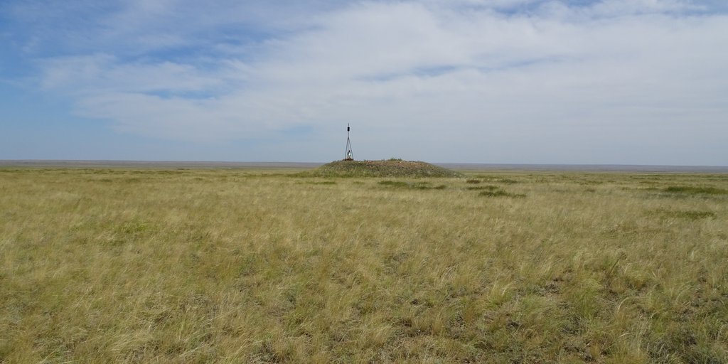
It is located 2.16 km south from the Karabiye wintering area. The burial ground consists of 4 stone mounds, one of which has a "mustache". Mounds are oriented in the East-West direction. The mound with a "mustache" is located on the eastern periphery of the burial ground. The diameter of the main embankment is 15 m, located on the eastern side; the small embankment has a diameter of 6 m. from which the "mustache" departs. The length of the "mustache" is about 50 m.
4. Burial ground of Sarybulak. Early Iron Age.
It is located 3.31 km east from the Sarybulak wintering area. It is on the left bank of the Sarybulak river. It consists of 31 mounds, divided into three groups.
Group I. Consists of two mounds, oriented in the North-South direction. One of them is a mound with a "mustache" The diameter of the main embankment is 10 m. The small embankment located on the eastern side has a diameter of 6 m. from which the "mustache" departs. The length of the "mustache" is about 34 m.
Group II. Consists of 13 mounds, oriented in the NE-SOUTH direction. The diameters of the mounds vary from 10 to 6 m.
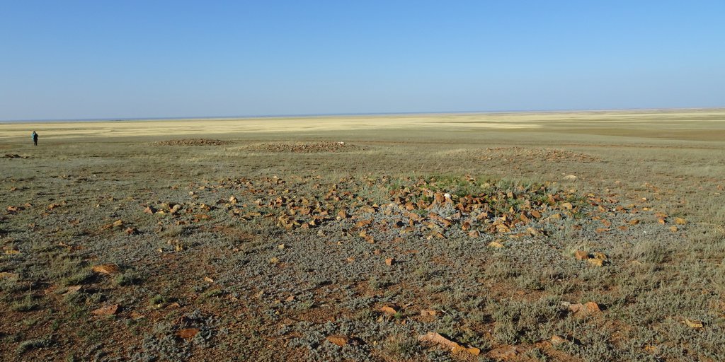
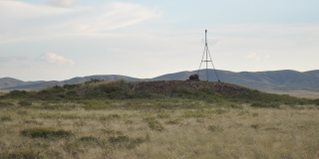
Group ІІІ. It consists of one central mound, large sacrificial stones on the western side and a chain of 17 ground mounds located on the NW side, and they are stretched along the North-South line. The main mound is a round stone embankment, 33 m in diameter and 3 m in height. It has a funnel in the center. According to members of the “Priirtyshye” local history society, they found a bronze girth buckle of the Kimak time in the funnel. The diameters of the ground mounds (satellites) vary from 10 m to 5 m. JPS coordinates are: 50 ° 18'30.0 "N 79 ° 47'06.4" E
5. Burial ground of Shetkyzyl. Early Iron Age.
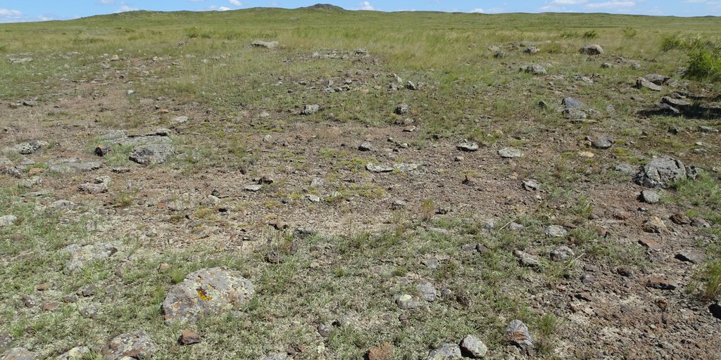
It is located 0.27 km northeast from the Shetkyzyl wintering grounds. Consists of 18 mounds divided into three groups (Figure B. 11).
Group I. Consists of 5 mounds oriented in the North-South direction. The diameters of the mounds vary from 10 to 6 m.
Group II. Consists of 5 mounds, oriented in the NE-SOUTH direction. The diameters of the mounds vary from 10 to 6 m.
The rest of the burial mounds are located in the grave field unsystematically.
6. Settlement of Moyildy. The Bronze Age.
It is located 0.5 km south-west from the Moyildy summer pasture. Housing hollows of dugouts and foundations of houses of ethnographic time have been observed. Among the lifting materials, there is jasper, which had signs of processing.
7. Burial ground of Bestobe. Early Iron Age.
It is located 3 km from the Suykbulak wintering grounds. The Semey-Suzdal grader passes from the west of the burial ground. The burial ground consists of 5 large burial mounds, oriented along the NNE-SEW line. The diameter of which varies from 25 m to 17 m.
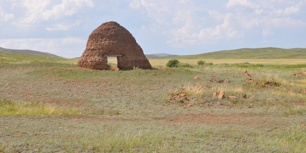
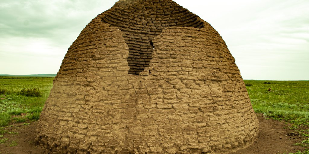
Investment recommendations: The Semeytau mountain range is one of the most attractive sites of historical and cultural tourism. The complex is full of unique antiquities. The fixed monuments make it possible to shed light on a long period of the history of this territory, numbering several millennia.
The study of the monuments of the Semeytau mountain range showed a high concentration of monuments from different eras. As a result of reconnaissance work, monuments of the Bronze Age, Scythian-Saks and Hunno-Sarmatian times were revealed. From the listed periods, the largest accumulation of monuments falls on the Hunno-Sarmatian era. In this area, about a dozen of burial grounds of a funeral nature have been identified. The burial mounds we found demonstrate their uniqueness in the construction of burial embankments, in the construction of grave and intra-grave structures. On these grounds, the closest analogies are found between the monuments of the Semeytau mountain range and the monuments of the Kokentau microdistrict, located at a small distance from each other.
The concepts of a historical and cultural tourism, which are actually implemented in the world practice, usually, in addition to the economic (commercial) aspect, also carry a certain ideological load. As a rule, the development of the historical and cultural tourism is associated with the solution of sociocultural and ideological problems. In our case, the preservation of the historical and cultural heritage, the preservation of the natural habitat, the revival, propaganda of the traditional way of life of ancient and modern shepherds. In the practical solution of the latter, the leading role belongs to the local community. Recently, when developing national concepts for the development of tourism in a number of European countries, the high role of local communities in the development of various areas of historical and cultural tourism has been specially noted.
Recommended sources:
Айткали А.К., Жунисханов А.С., Бесетаев Б.Б. Курганы второй половины І тыс. до нашей эры горного массива Кокентау // Саки и савроматы Казахских степей: контакт культур: Сборник научных статей, посвященный памяти археолога Бекена Нурмуханбетова. Алматы, 2016, С. 26-33.
Исин А.С. Фортификационное значение горы Кыземшек // «АЛТАЙ – ТҮРКІ ӘЛЕМІНІҢ АЛТЫН БЕСІГІ» Редактор – Даниал Ахметов. – Өскемен; 2018. С. 113-116.
Photo gallery
Семейтау. Месторождение агата
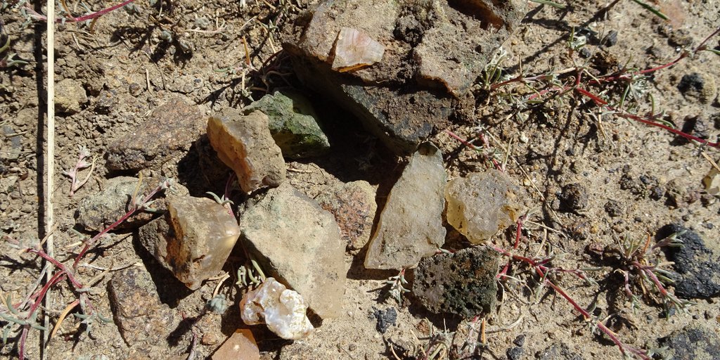
Семейтау. Агат
Семейтау. Могильник Кыземшек
Семейтау. Могильник Тасбулак. Каменные выкладки эпохи бронзы
Семейтау. Могильник Тасбулак. Каменные выкладки эпохи бронзы
Map
Materials
All materials are available at the following link